LiDAR
A brief introduction to 3D LiDAR sensors and their applications in GRYFN solutions
LiDAR Sensing Overview
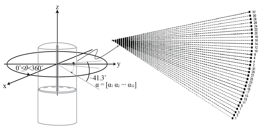
Light Detection And Ranging (LiDAR) sensors work by emitting a light pulse which reflects off of objects which are then received by photodetectors in the sensor. The time between the light pulse emittance and reception is recorded, this time is used to calculate the distance to an object by using the speed of light to calculate the distance traveled. The sensor rotates around an axis and reports range, azimuth, and intensity for each return. This form of collection is known as an "active" sensing technology because it creates the energy it observes, rather than relying on incoming energy from solar radiation or other external sources.
High-end LiDAR sensors in UAV-based remote sensing can provide hundreds to thousands of points per square meter, depending on altitude, speed, and overlap, defining elevation at each point. LiDAR points can be used to generate three-dimensional "point clouds" which can in turn be used for generating terrain and surface models, amongst other products and analysis.

Data collection considerations
Because LiDAR is an active sensing technology, not relying on external energy sources, it can be collected in nearly any visibility conditions, even at night. In practice, this allows for some level of data collection even when typical imaging sensors would not provide useful information. Therefore, even when skies turn overcast, a trip to the field isn't a full waste as LiDAR data can be extremely valuable.
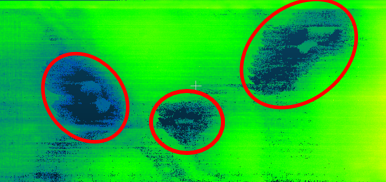
The largest consideration for LiDAR data collection is a limitation around reflective or refractive surfaces. These surfaces disrupt the lasers return angle and significantly limit the number of returns. For example, with topographical LiDAR sensors, flying over bodies of water will observe little to no laser returns and the refractive nature of water does not send the return in an angle back towards the sensor. Often when collecting over bodies of water (standing water in an agricultural field, swamp or marsh environments, and for coastal ecology), to use LiDAR surface models for orthorectification of image data, water areas will need to be masked and have their elevation set at a fixed value.

Last updated